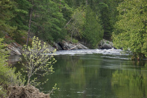
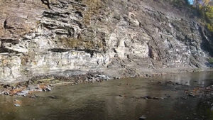
The southern shore of Lake Erie near the Vermilion River mouth was inhabited by the Erie Indians until around 1655 when hostile Iroquois people moved into the area and eradicated them. By the 18th century, Chippewa, Ottawa and Wyandot tribes began to occupy upland areas adjacent to the river to trade furs and to take advantage of prime hunting and fishing locations.
The name “Vermilion” is derived from an old French word meaning ‘red,’ which is representative of the reddish clay commonly found along the river’s course.
Vermilion Stream Flow
River Rating


